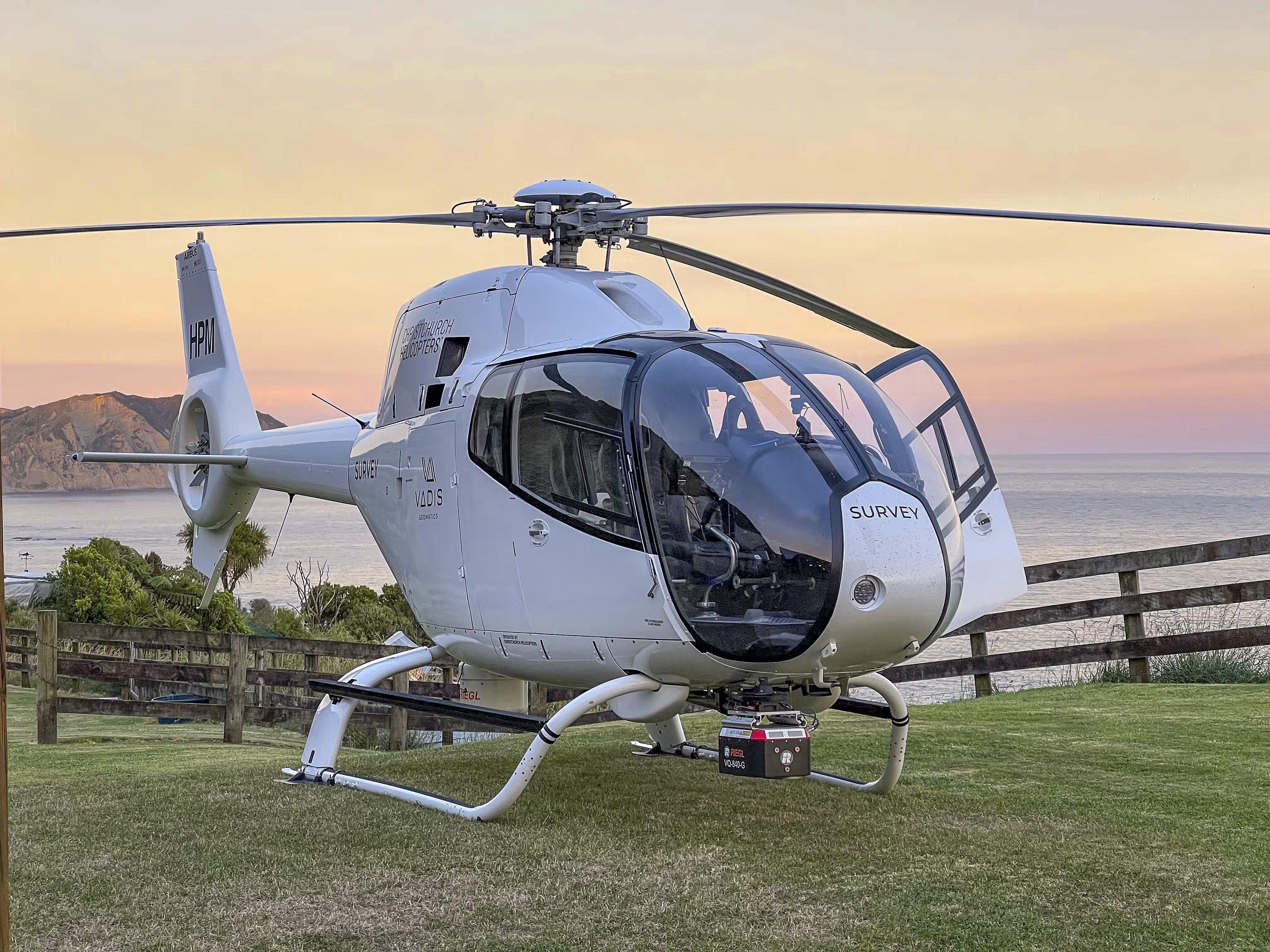
Aerial surveys under way

SPECIALISED: Helicopters mounted with lasers are carrying out the work.
Brianna Stewart
An aerial survey of Horizon Networks’ electricity network is underway in the Eastern Bay, with specialist helicopters flying across the region.
The LiDAR (light detection and ranging) survey method involves low-flying helicopters mounted with lasers working to identify potential risks to the electricity network, including vegetation encroachment, before they cause power outages or safety hazards.
Specialist aerial surveyors Preformed Line Products are flying the entire network, from Pikowai to Cape Runaway and Whakatāne to Ruatāhuna throughout April.
Horizons Networks said the survey would not cause any outages and customers’ power supplies would remain unaffected.
Survey times were expected to be typically five to 10 minutes in rural areas and 10-15 minutes in urban areas, causing minimal noise and complying with privacy guidelines.
“We respect your privacy and ensure that any data collected during these inspections is handled in accordance with the Privacy Act 2020.
“The data is securely processed within Horizon Networks and used exclusively for the management of our assets.”
Horizon Networks will provide regular updates on Facebook advising when they will be conducting the LiDAR aerial survey by region.
For more information, visit https://horizonnetworks.nz/ or call 0800 HORIZON.
